22. THE METHODIST CHURCH
As has been described at the Town Sign, in 1908 this Primitive Methodist Church was dedicated to the memory of Rev. Henry Buckenham and its foundation stone was laid by his wife who went back to her missionary work in Africa. Worship had started near here in a barn.
The first chapel was built on the north side of the yard in 1825 and enlarged in 1861. It was followed by this church built on the site of twelve cottages. The Old Manse in the corner of the yard was converted in the 1980s for use as a halfway house to help long term patients leaving psychiatric hospitals. All the buildings in the yard have now been converted to private housing as has the church. AUDIO - Click to Play
VIDEO - Coming Soon!
The next plaque on the Old Rectory is a few yards further on the right. |
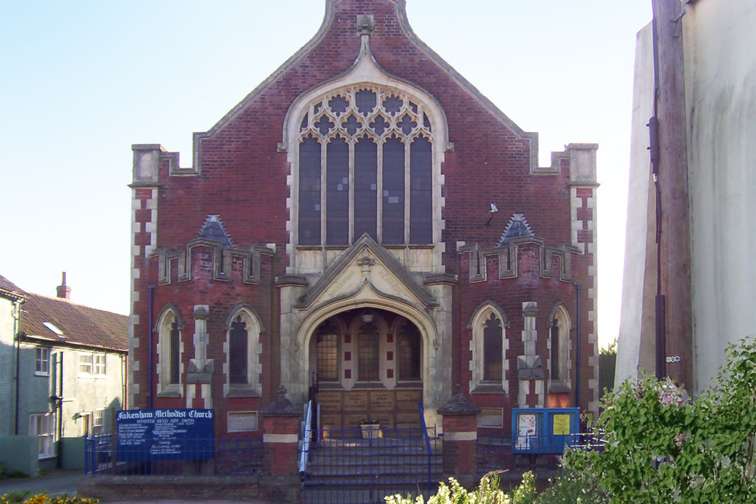
The Primitive Methodist Chapel was dedicated to the memory of Rev. Henry Buckenham.
Some of the other religious buildings that are or have been in the town:
● St Peters Church. ● 1689 Quaker Meeting Room was opened. ● 1779 -1819 The Congregational Dissenters had a chapel in White Horse Street (now the Conservative Club). This moved to Cattle Market Street 1819-1895 (now The General Townshend Club). ● 1801 The Baptists converted a barn in Swann Street opening a chapel in 1825 which was later enlarged. Later a new chapel was built alongside. The latter has been rebuilt and the original redeveloped, both as housing. ● 1889 The Congregational Church was built in Ratcliffe Road. It closed in 1960 and is now an Antiques Centre. ● There was a corrugated iron Mission Room in Mission Lane as well as a chapel, almost opposite it, for the Theological College in the old Poor House. ● Wesleyans started worshipping in Star Barn and then built their chapel in Oak Street, later sold to the Salvation Army. They merged with the Primitive Methodists in 1932. ● The Salvation Army started in Fakenham in 1884 (see later). ● 1909 The Roman Catholic Church of St Anthony of Padua was opened in Wells Road. Previously the congregation had met in a house at Hempton. ● At various times there were also Plymouth Brethren and Muggletonians. |